Mapping the Landscape
Election Cartography

If you care about restoring election integrity to our representative republic, one of the most important things to do right now, in my opinion, is to map the landscape.
What does it mean to "map the landscape"?
To me it means figuring out everything related to elections in your area, at the county, city, and township levels. Start by going to your county website.
- It means figuring out who is representing you in local government
- It means knowing which elected or appointed positions have influence on elections (county auditor, count administrator, elections director, elections manager, county attorney, commissioners, council members, supervisors, etc.)
- It means understanding competency and awareness levels regarding election law, process, and electronic systems
- It means sorting out what election equipment and contracts look like
- It means looking at available data from past elections and voter rolls and registrations
- It means setting up small groups and inviting people like Rick Weible to speak (event coming in April)
- It means learning how to submit data and records requests to the responsible authority
- It means learning and using your power and authority where necessary
- It means befriending county election officials where appropriate so that they may become future whistleblowers
Above are just 9 things to do. Can you think of more? (Let me know in the comments.)
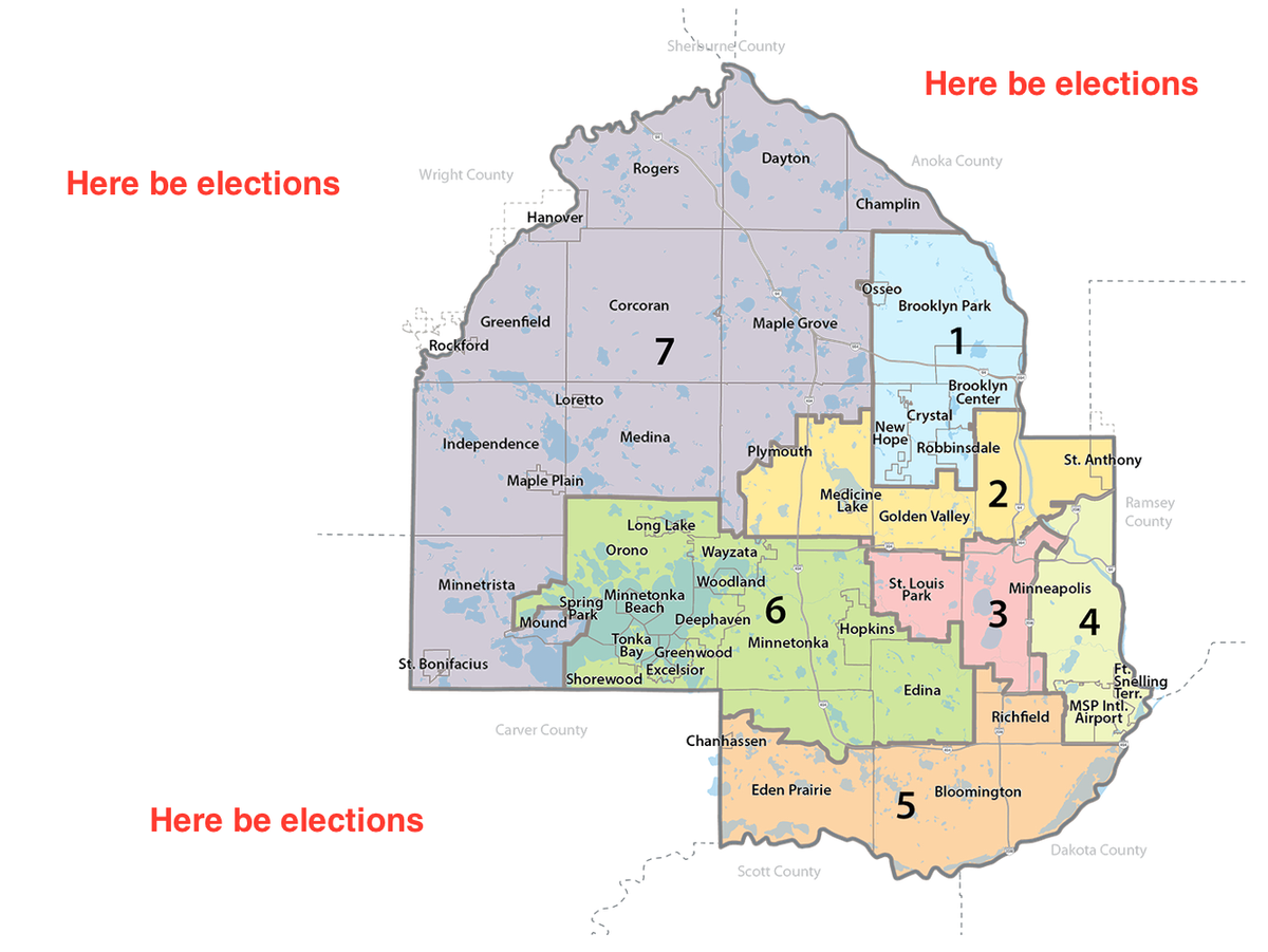
A simple way to start if you’re in Hennepin, for example, is to find out which commissioner represents your district. From there, find the county administrator, attorney, auditor, and election director. Then do this for your city or township.
Another way to learn is to observe your next county commissioner, either online or in person.
For election data, go to the MNSOS website and poke around.
Find ways to enjoy this process because we will all be doing this together as long as it takes to correct where we’ve gone wrong. It’s a great learning experience for everyone to endure together.


